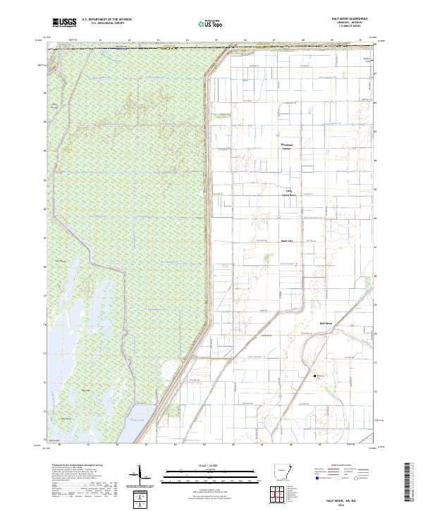
2024 Map of Half Moon
USGS Topo · Published 2024About this map
The Big Lake National Wildlife Refuge and the Big Lake Wilderness dominate the western half of this landscape, preserving a vast wetland ecosystem on the Arkansas-Missouri border. This environment is characterized by intricate waterways like the Right Hand Chute Little River and islands such as Gun Island and Hog Island. To the east, the terrain transitions into a highly managed agricultural grid, where a complex network of drainage canals—including Ditch Number 58, Ditch Number 63, and Ditch Number 26—reclaims the low-lying Delta land for farming.
Find a feature on this map
108 named features on this map. Tap any name to fly to it.
Don’t see what you’re looking for? This feature index may not catch every label — zoom into the map to look around manually.
Map Details
Editions of this 2024 Half Moon Map
This is the sole edition of this map. No revisions or reprints were ever made.
Other maps of this area

1934 · Kennett
USGS Topo · 1:62,500

1939 · Blytheville
USGS Topo · 1:62,500

1940 · Kennett
USGS Topo · 1:62,500

1940 · Hayti
USGS Topo · 1:62,500

1941 · Manila
USGS Topo · 1:62,500

1953 · Memphis
USGS Topo · 1:250,000

1955 · Hayti
USGS Topo · 1:62,500

1955 · Blytheville
USGS Topo · 1:62,500

1956 · Kennett
USGS Topo · 1:62,500

1956 · Manila
USGS Topo · 1:62,500