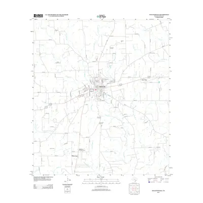
2013 Map of Hallettsville
USGS Topo · Published 2013About this map
Hallettsville serves as the central hub of this Lavaca County landscape, situated where the Lavaca River meets numerous tributaries like Campbell Br and Rickaway Br. The settlement pattern reflects deep roots in the region's agricultural and civic history, evidenced by the presence of both the Old County Farm Cem and New County Farm Cem south of the main town site.
Find a feature on this map
108 named features on this map. Tap any name to fly to it.
Don’t see what you’re looking for? This feature index may not catch every label — zoom into the map to look around manually.
Map Details
Editions of this 2013 Hallettsville Map
This is the sole edition of this map. No revisions or reprints were ever made.
Other maps of this area

1901 · Flatonia
USGS Topo · 1:125,000

1919 · Schulenburg
USGS Topo · 1:62,500

1953 · Seguin
USGS Topo · 1:250,000

1958 · Seguin
USGS Topo · 1:250,000

1962 · Sublime
USGS Topo · 1:24,000

1962 · Hallettsville SE
USGS Topo · 1:24,000

1962 · Hallettsville
USGS Topo · 1:24,000

1963 · Sweet Home
USGS Topo · 1:24,000

1964 · Ezzell
USGS Topo · 1:24,000

1965 · Oakland
USGS Topo · 1:24,000