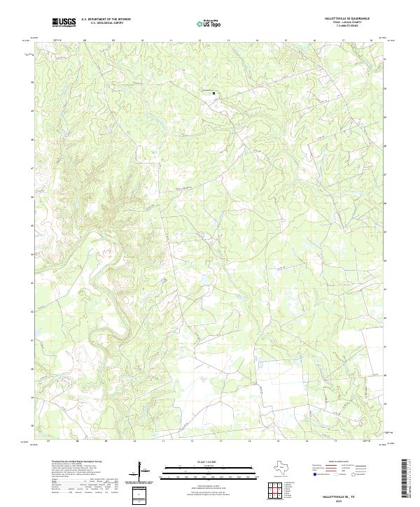
2022 Map of Hallettsville SE
USGS Topo · Published 2022About this map
The Lavaca River and Navidad River dominate this portion of Lavaca County, where a dense network of intermittent creeks and branches defines the local topography. This 2022 survey captures a rural landscape still organized around long-established family names and regional drainage patterns, seen in features like Laughlins Sandy Cr and Hardys Sandy Cr. The road network is primarily composed of county routes, such as Co RD 15a and Co RD 16, which provide access to the area's agricultural properties and family landmarks. Genealogists will find particular interest in the Haidusek Cem, located north of Matula Cemetary Rd. The map illustrates how smaller waterways like Double S Br, Bachelor Br, and Pin Oak Br feed into the larger river systems, maintaining the traditional drainage-based land divisions typical of this part of south-central Texas.
Find a feature on this map
36 named features on this map. Tap any name to fly to it.
Don’t see what you’re looking for? This feature index may not catch every label — zoom into the map to look around manually.
Map Details
Editions of this 2022 Hallettsville SE Map
This is the sole edition of this map. No revisions or reprints were ever made.
Other maps of this area

1953 · Seguin
USGS Topo · 1:250,000

1958 · Seguin
USGS Topo · 1:250,000

1962 · Sublime
USGS Topo · 1:24,000

1962 · Hallettsville SE
USGS Topo · 1:24,000

1962 · Hallettsville
USGS Topo · 1:24,000

1964 · Cordele
USGS Topo · 1:24,000

1964 · Morales
USGS Topo · 1:24,000

1964 · Speaks
USGS Topo · 1:24,000

1964 · Ezzell
USGS Topo · 1:24,000

1965 · Hope
USGS Topo · 1:24,000