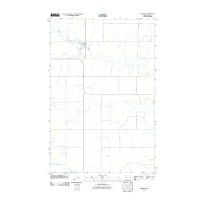
2011 Map of Halliday
USGS Topo · Published 2011About this map
Halliday serves as the central hub of this North Dakota landscape, situated at the confluence of a developed street grid and the winding path of Spring Creek. The town's layout, defined by its northern location on the map, is surrounded by an extensive grid of section-line roads such as 85th Ave SW and 4th St SW, illustrating the late-modern agricultural organization of Dunn County. Beyond the settled area, the terrain is characterized by the meandering drainage systems of Alkali Creek, Cottonwood Creek, and Coyote Creek. These waterways provide the primary relief in an otherwise strictly partitioned prairie, where the intersection of natural watercourses and the rigid rural road network like County Rd 26 dictates the movement of people and commerce across the plains.
Find a feature on this map
18 named features on this map. Tap any name to fly to it.
Don’t see what you’re looking for? This feature index may not catch every label — zoom into the map to look around manually.
Map Details
Editions of this 2011 Halliday Map
This is the sole edition of this map. No revisions or reprints were ever made.
Other maps of this area

1953 · Watford City
USGS Topo · 1:250,000

1957 · Watford City
USGS Topo · 1:250,000

1967 · Watford City
USGS Topo · 1:250,000
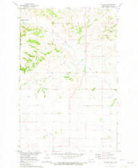
1970 · Halliday NE
USGS Topo · 1:24,000
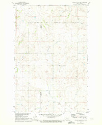
1970 · Golden Valley NW
USGS Topo · 1:24,000
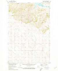
1970 · Halliday NW
USGS Topo · 1:24,000
1973 · Schaffner Creek
USGS Topo · 1:24,000
1973 · Halliday
USGS Topo · 1:24,000
1973 · Dodge
USGS Topo · 1:24,000
1973 · Werner
USGS Topo · 1:24,000