
1973 Map of Dodge
USGS Topo · Published 1977About this map
The small prairie town of Dodge serves as the focal point for this survey, situated where the Burlington Northern railroad corridor meets the rolling high plains of North Dakota. The landscape is defined by the winding course of Spring Creek and its tributaries, including Goodman Creek and Cottonwood Creek. The rural infrastructure of the early 1970s is well-documented, showing a Pipeline network, a municipal Sewage Disposal Pond, and a local Rodeo Ground situated just east of the main settlement. Genealogy and local history are anchored by several burial sites, including St Pauls Cem in the north and Loring Cem to the south. The map effectively captures the interface between the Dunn County and Mercer County line and the agricultural economy, marked by scattered Storage Bins and a Pumping Sta that support the region's ranching and transit requirements.
Find a feature on this map
18 named features on this map. Tap any name to fly to it.
Don’t see what you’re looking for? This feature index may not catch every label — zoom into the map to look around manually.
Map Details
Editions of this 1973 Dodge Map
This is the sole edition of this map. No revisions or reprints were ever made.
Other maps of this area

1953 · Watford City
USGS Topo · 1:250,000

1957 · Watford City
USGS Topo · 1:250,000

1967 · Watford City
USGS Topo · 1:250,000

1970 · Halliday NE
USGS Topo · 1:24,000
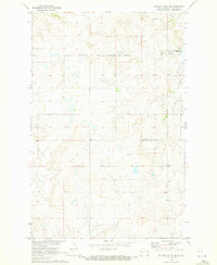
1970 · Golden Valley NE
USGS Topo · 1:24,000

1970 · Golden Valley NW
USGS Topo · 1:24,000

1973 · Schaffner Creek NE
USGS Topo · 1:24,000

1973 · Schaffner Creek
USGS Topo · 1:24,000

1973 · Halliday
USGS Topo · 1:24,000
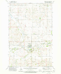
1973 · Golden Valley
USGS Topo · 1:24,000