
1973 Map of Schaffner Creek
USGS Topo · Published 1977About this map
Schaffner Creek flows through this rural landscape in the 1970s, where the winding watercourses of Ash Coulee and the Knife River define the local topography. This portion of the North Dakota prairie, spanning the border of Dunn Co and Mercer Co, reflects a pattern of scattered homesteads and essential rural institutions. Small landmarks like St Martins Ch and the Broncho Cem serve as focal points for the surrounding agricultural community, while a Gravel Pit indicates localized resource extraction. The map provides a clear look at the section lines and fence boundaries that organized the high plains before further modernization changed the rural character of the region.
Find a feature on this map
7 named features on this map. Tap any name to fly to it.
Don’t see what you’re looking for? This feature index may not catch every label — zoom into the map to look around manually.
Map Details
Editions of this 1973 Schaffner Creek Map
This is the sole edition of this map. No revisions or reprints were ever made.
Other maps of this area

1953 · Watford City
USGS Topo · 1:250,000

1957 · Watford City
USGS Topo · 1:250,000

1967 · Watford City
USGS Topo · 1:250,000

1973 · Marshall SE
USGS Topo · 1:24,000

1973 · Schaffner Creek NE
USGS Topo · 1:24,000

1973 · Willow Creek West
USGS Topo · 1:24,000
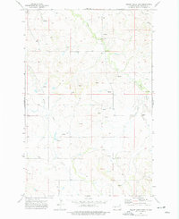
1973 · Willow Creek East
USGS Topo · 1:24,000

1973 · Halliday
USGS Topo · 1:24,000

1973 · Dodge
USGS Topo · 1:24,000
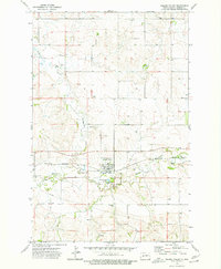
1973 · Golden Valley
USGS Topo · 1:24,000