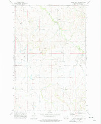
1973 Map of Willow Creek East
USGS Topo · Published 1977About this map
The Knife River flows across the northwestern corner of this Mercer County landscape, which is defined by a dense network of intermittent drainages and coulees. During the early 1970s, the area around Jaeger remained largely agricultural, with numerous Springs and Spring points sustaining the local water table across the undulating prairies. The drainage pattern is led by Elm Creek and Willow Creek, which carve through the terrain alongside Gold Creek in the northeast.
Find a feature on this map
13 named features on this map. Tap any name to fly to it.
Don’t see what you’re looking for? This feature index may not catch every label — zoom into the map to look around manually.
Map Details
Editions of this 1973 Willow Creek East Map
This is the sole edition of this map. No revisions or reprints were ever made.
Other maps of this area

1953 · Dickinson
USGS Topo · 1:250,000

1953 · Watford City
USGS Topo · 1:250,000

1954 · Bismarck
USGS Topo · 1:250,000

1954 · McClusky
USGS Topo · 1:250,000

1957 · Dickinson
USGS Topo · 1:250,000

1957 · Watford City
USGS Topo · 1:250,000

1958 · Bismarck
USGS Topo · 1:250,000

1958 · McClusky
USGS Topo · 1:250,000

1967 · Watford City
USGS Topo · 1:250,000

1968 · Medicine Butte
USGS Topo · 1:24,000