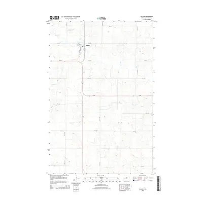
2014 Map of Halliday
USGS Topo · Published 2014About this map
Halliday serves as the primary hub of activity in this 2014 survey of Dunn County, North Dakota. The town's grid is anchored by Central Ave and Nd-8, with the Po marking the heart of the community. Outside the immediate settlement, the landscape is defined by a network of seasonal and perennial waterways that have long influenced ranching and local geography. These include the winding paths of Spring Creek, Alkali Cr, and Cottonwood Cr, which cut through the high plains. The intersection of Nd-200 and ND-8 remains the critical junction for this rural region, while gravel roads like 85th Ave SW and 81st Ave SW delineate the vast sections of the surrounding prairie. This map provides a detailed look at the modern rural infrastructure and water drainage patterns across the Missouri Plateau.
Find a feature on this map
26 named features on this map. Tap any name to fly to it.
Don’t see what you’re looking for? This feature index may not catch every label — zoom into the map to look around manually.
Map Details
Editions of this 2014 Halliday Map
This is the sole edition of this map. No revisions or reprints were ever made.
Other maps of this area

1953 · Watford City
USGS Topo · 1:250,000

1957 · Watford City
USGS Topo · 1:250,000

1967 · Watford City
USGS Topo · 1:250,000

1970 · Halliday NE
USGS Topo · 1:24,000

1970 · Golden Valley NW
USGS Topo · 1:24,000

1970 · Halliday NW
USGS Topo · 1:24,000

1973 · Schaffner Creek
USGS Topo · 1:24,000

1973 · Halliday
USGS Topo · 1:24,000

1973 · Dodge
USGS Topo · 1:24,000

1973 · Werner
USGS Topo · 1:24,000