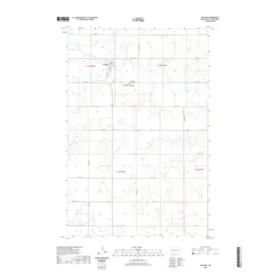
2020 Map of Halliday
USGS Topo · Published 2020About this map
Halliday serves as the central hub for this portion of Dunn County, situated just south of the winding course of Spring Creek. The town's grid is anchored by Central Ave and 1st Ave SW, representing a classic high plains settlement pattern where the town center transitions abruptly into a vast agricultural and topographical landscape. This 2020 survey reveals a significant cluster of faith-based burial sites south of the main township, including Saint Pauls Lutheran Cem, Saint Pauls Catholic Cem, and Our Saviour's Lutheran Cem, providing essential primary source data for genealogists and local historians tracking family lineages in this region. The surrounding terrain is defined by its drainage network, with Cottonwood Cr, Alkali Cr, and Coyote Cr carving distinct pathways through the undulating prairie, illustrating the enduring relationship between water access and land division in North Dakota.
Find a feature on this map
31 named features on this map. Tap any name to fly to it.
Don’t see what you’re looking for? This feature index may not catch every label — zoom into the map to look around manually.
Map Details
Editions of this 2020 Halliday Map
This is the sole edition of this map. No revisions or reprints were ever made.
Other maps of this area

1953 · Watford City
USGS Topo · 1:250,000

1957 · Watford City
USGS Topo · 1:250,000

1967 · Watford City
USGS Topo · 1:250,000

1970 · Halliday NE
USGS Topo · 1:24,000

1970 · Golden Valley NW
USGS Topo · 1:24,000

1970 · Halliday NW
USGS Topo · 1:24,000

1973 · Schaffner Creek
USGS Topo · 1:24,000

1973 · Halliday
USGS Topo · 1:24,000

1973 · Dodge
USGS Topo · 1:24,000

1973 · Werner
USGS Topo · 1:24,000