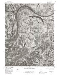
1980 Map of Halls
USGS Topo · Published 1981About this map
Missouri River meanders define the western border of this 1980 orthophotoquad, which captures the alluvial landscape south of St Joseph. The imagery reveals a complex network of ancient oxbows and river scars, most notably Lake Contrary, which sits tucked into a prominent bend of the river. The small settlement of Halls is visible in the southwestern portion of the sheet, situated within the flat bottomlands that dominate the quadrangle. Produced in cooperation with the Soil Conservation Service, this map provides a clear photographic record of land use and drainage patterns, including the course of Contrary Creek as it winds toward the river. This specific edition is particularly useful for researchers studying historical floodplain development and the exact footprint of residential and agricultural structures in the Missouri-Kansas borderlands during the early 1980s.
Find a feature on this map
5 named features on this map. Tap any name to fly to it.
Don’t see what you’re looking for? This feature index may not catch every label — zoom into the map to look around manually.
Map Details
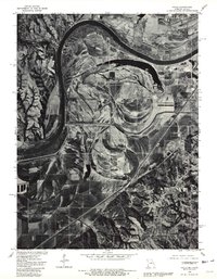
Editions of this 1980 Halls Map
2 editions found
Other maps of this area

1885 · Atchison
USGS Topo · 1:125,000

1888 · Atchison
USGS Topo · 1:125,000

1893 · Atchison
USGS Topo · 1:125,000

1924 · St. Joseph
USGS Topo · 1:62,500

1926 · Atchison
USGS Topo · 1:62,500

1926 · Saint Joseph
USGS Topo · 1:62,500

1926 · Oregon
USGS Topo · 1:62,500

1927 · Dearborn
USGS Topo · 1:62,500

1950 · Kansas City
USGS Topo · 1:250,000
1951 · De Kalb
USGS Topo · 1:24,000