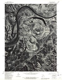
1980 Map of Halls
USGS Topo · Published 1981About this map
The Missouri River defines the landscape in this 1980 orthophotoquad, carving a wide arc along the border between Missouri and Kansas. This aerial perspective, prepared by the U.S. Geological Survey and the Soil Conservation Service, highlights the intricate drainage patterns and former river channels that have shaped the floodplains south of St Joseph. The presence of Lake Contrary and the winding course of Contrary Creek illustrate the historical shift of the river's main channel over time.
Find a feature on this map
5 named features on this map. Tap any name to fly to it.
Don’t see what you’re looking for? This feature index may not catch every label — zoom into the map to look around manually.
Map Details
Editions of this 1980 Halls Map
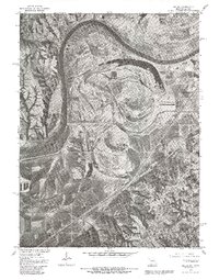
2 editions found
Other maps of this area

1885 · Atchison
USGS Topo · 1:125,000

1888 · Atchison
USGS Topo · 1:125,000

1893 · Atchison
USGS Topo · 1:125,000

1924 · St. Joseph
USGS Topo · 1:62,500

1926 · Atchison
USGS Topo · 1:62,500

1926 · Saint Joseph
USGS Topo · 1:62,500

1926 · Oregon
USGS Topo · 1:62,500

1927 · Dearborn
USGS Topo · 1:62,500

1950 · Kansas City
USGS Topo · 1:250,000
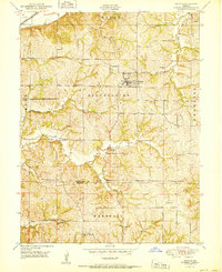
1951 · De Kalb
USGS Topo · 1:24,000