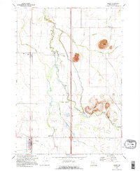
1969 Map of Halsey
USGS Topo · Published 1995About this map
The Calapooia River meanders through the heart of Linn County in the late 1960s, defining a landscape of agriculture and small-town junctions. This era shows Halsey as a key node on the Southern Pacific line, while nearby Shedd and Plainview maintain their rural character. The map reveals the intricate water management of the valley, from the Sodom Dam and Sodom Ditch to the winding Shedd Slough and Walton Slough. Historically significant landmarks like the Bunker Hill Cem and Central Linn High Sch provide essential points for genealogists. The topography is punctuated by prominent rises such as Saddle Butte, Ward Butte, and the Powell Hills, which stand in contrast to the surrounding drainage systems of Spoon Creek and Butte Creek. Local commerce and transportation are further represented by the Pioneer Villa Airstrip and the Boston Mill Road.
Find a feature on this map
31 named features on this map. Tap any name to fly to it.
Don’t see what you’re looking for? This feature index may not catch every label — zoom into the map to look around manually.
Map Details
Editions of this 1969 Halsey Map
2 editions found
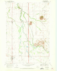
Other maps of this area

1909 · Harrisburg
USGS Topo · 1:31,680

1909 · Rowland
USGS Topo · 1:31,680

1911 · Brownsville
USGS Topo · 1:31,680

1911 · Lebanon
USGS Topo · 1:31,680

1911 · Tangent
USGS Topo · 1:31,680

1912 · Halsey
USGS Topo · 1:62,500

1913 · Oakville
USGS Topo · 1:31,680

1916 · Albany
USGS Topo · 1:62,500

1921 · Brownsville
USGS Topo · 1:62,500

1921 · Lebanon
USGS Topo · 1:62,500