
1915 Map of Hamakua
USGS Topo · Published 1915About this map
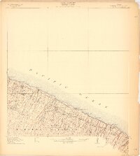
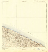
The sugarcane and coffee economy of the Hawaii coast is documented in this early twentieth-century survey. Industrial nodes like Honokaa Mill, Paauhau Mill, and the Louisson Coffee Mill anchor the steep, gulch-cut terrain above the Pacific Ocean. This era's infrastructure is defined by a complex irrigation and transport system, including the Upper Hamakua Ditch and the Waimanu Flume, which carried water and timber across the deep ravines of Kukui Gulch and Nienie Gulch. Extensive land divisions are visible through numerous agricultural tracts such as the Ahualoa Homesteads and Pohakea Homesteads. Shoreline operations are marked by several maritime hubs, including Honokaa Landing and Kukaiau Landing, which served as critical export points for the island's coastal plantations before modern road networks dominated the landscape.
Find a feature on this map
47 named features on this map. Tap any name to fly to it.
Don’t see what you’re looking for? This feature index may not catch every label — zoom into the map to look around manually.
Map Details
Editions of this 1915 Hamakua Map
3 editions found
Other maps of this area

1915 · Honomu
USGS Topo · 1:62,500

1916 · Waipio
USGS Topo · 1:62,500

1954 · Hawaii North
USGS Topo · 1:250,000

1956 · Keanakolu
USGS Topo · 1:24,000

1956 · Makahalau
USGS Topo · 1:24,000

1956 · Umikoa
USGS Topo · 1:24,000

1957 · Kukaiau
USGS Topo · 1:24,000

1957 · Honokaa
USGS Topo · 1:24,000

1959 · Hawaii North
USGS Topo · 1:250,000

1961 · Hawaii North
USGS Topo · 1:250,000