Loading...
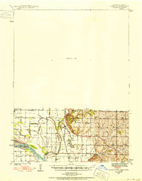
Loading map...1939 Map of Hamburg
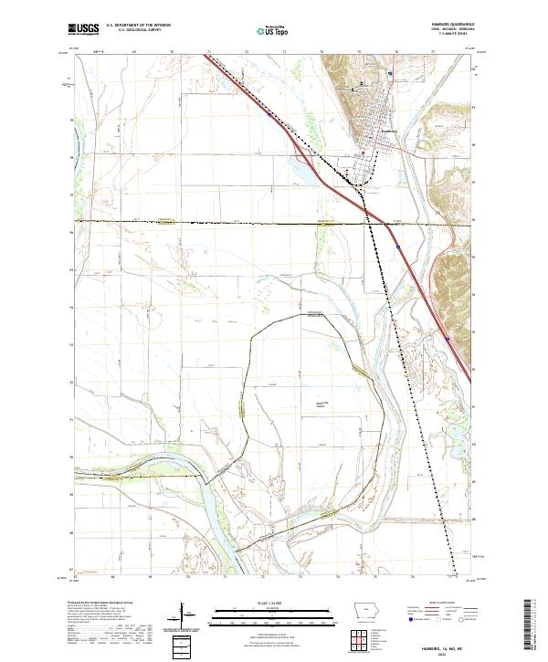
USGS Topo · Published 1952About this map
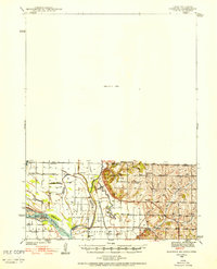
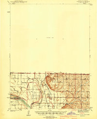
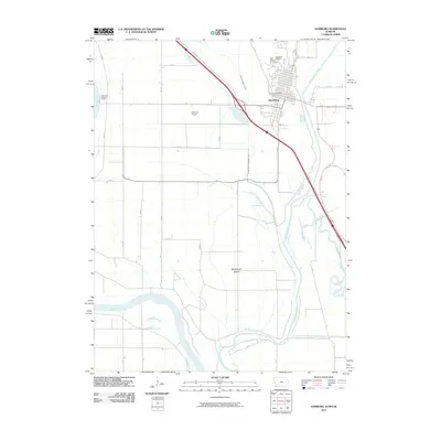
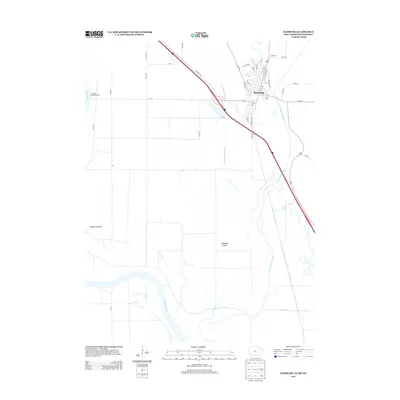
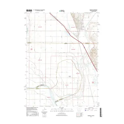
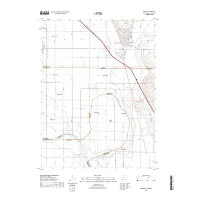
The Missouri River and Nishnabotna River dominate this 1939 landscape where the borders of Iowa, Missouri, and Nebraska converge. A complex network of water features, including Holly Slough, Lewis Slough, and Greys Lake, illustrates the dynamic nature of the river bottomlands before mid-century channelization. The mapping of McKissock Island highlights the unique territorial boundaries created by shifts in the Missouri’s course.
Find a feature on this map
33 named features on this map. Tap any name to fly to it.
Don’t see what you’re looking for? This feature index may not catch every label — zoom into the map to look around manually.
Map Details
Date Portrayed1939
Date Published1952
PublisherU.S. Geological Survey
Map TypeTopographic
Scale1:62,500
Physical Dimensions16.5 x 20.9 inches
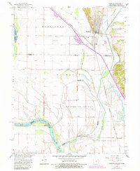
Editions of this 1939 Hamburg Map
2 editions found
Historical Maps of Sidney Through Time
8 maps found
Featured Locations
Source Details
SourceU.S. Geological Survey
CopyrightPublic Domain