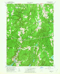
1961 Map of Hamburg
USGS Topo · Published 1963About this map
Devils Hopyard State Park and the extensive Nehantic State Forest define the wooded character of this New London County landscape during the early 1960s. The Eightmile River system, including its East Branch, winds through narrow valleys past small settlements like Millington and North Plain. The map reveals a transition from traditional rural life to specialized land uses, evidenced by the presence of the Yale Engineering Camp near Powers Lake and the Stone Ranch Military Reservation.
Find a feature on this map
76 named features on this map. Tap any name to fly to it.
Don’t see what you’re looking for? This feature index may not catch every label — zoom into the map to look around manually.
Map Details
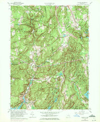
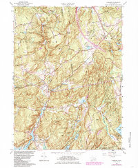
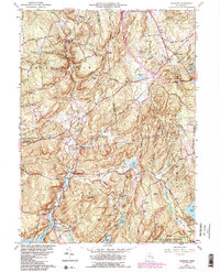
Editions of this 1961 Hamburg Map
4 editions found
Other maps of this area

1892 · New London
USGS Topo · 1:62,500

1892 · Norwich
USGS Topo · 1:62,500

1892 · Gilead
USGS Topo · 1:62,500

1893 · New London
USGS Topo · 1:62,500

1893 · Saybrook
USGS Topo · 1:62,500

1921 · New London
USGS Topo · 1:62,500

1934 · Niantic
USGS Topo · 1:24,000

1935 · Montville
USGS Topo · 1:24,000

1938 · Niantic
USGS Topo · 1:62,500

1939 · Montville
USGS Topo · 1:31,680