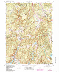
1961 Map of Hamburg
USGS Topo · Published 1985About this map
Devils Hopyard State Park and the wooded slopes of the Nehantic State Forest define the character of this interior New London County landscape. The mapping reflects the transition from early rural settlements like Millington and North Plain to a mid-20th-century landscape of protected forests and state-managed lands. Family history is deeply rooted here, evidenced by numerous burial grounds such as Whittlesey Cem, Griffin Cem, and Sterling Cem. The topography is shaped by the Eightmile River, which winds south toward Hamburg Cove, passing landmarks like the Ed Bills Pond and the Gaging Sta. To the southeast, the large expanse of the Stone Ranch Military Reservation indicates the area's role in regional defense training. This survey captures a mix of residential growth near Salem Four Corners and the preserved, pond-studded hills surrounding Mount Archer and Grassy Hill.
Find a feature on this map
71 named features on this map. Tap any name to fly to it.
Don’t see what you’re looking for? This feature index may not catch every label — zoom into the map to look around manually.
Map Details
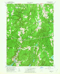
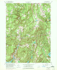
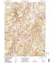
Editions of this 1961 Hamburg Map
4 editions found
Other maps of this area

1892 · New London
USGS Topo · 1:62,500

1892 · Norwich
USGS Topo · 1:62,500

1892 · Gilead
USGS Topo · 1:62,500

1893 · New London
USGS Topo · 1:62,500

1893 · Saybrook
USGS Topo · 1:62,500

1921 · New London
USGS Topo · 1:62,500

1934 · Niantic
USGS Topo · 1:24,000

1935 · Montville
USGS Topo · 1:24,000

1938 · Niantic
USGS Topo · 1:62,500

1939 · Montville
USGS Topo · 1:31,680