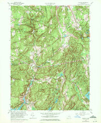
1961 Map of Hamburg
USGS Topo · Published 1972About this map
The Eightmile River carves a deep path through this Connecticut landscape, marking the transition between the rugged uplands of Devils Hopyard State Park and the tidal reaches of Hamburg Cove. The map documents a rural network of small settlements like Millington and North Lyme, where social life centered around landmarks such as the Millington Church and Millington School. In the southern portion, the expansive Nehantic State Forest and the Stone Ranch Military Reservation represent a shift toward state and federal land management. Evidence of long-standing family settlements is preserved in the numerous burial grounds scattered across the townships, including the Whittlesey Cemetery and Gillett Cemetery. Higher elevations like Mount Archer and Grassy Hill provide vantage points over a territory defined by small ponds and brooks that once powered local industry, such as Malt House Brook and Shingle Mill Pond.
Find a feature on this map
59 named features on this map. Tap any name to fly to it.
Don’t see what you’re looking for? This feature index may not catch every label — zoom into the map to look around manually.
Map Details
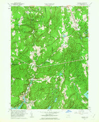
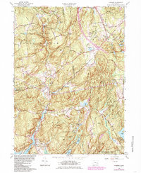
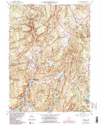
Editions of this 1961 Hamburg Map
4 editions found
Other maps of this area

1892 · New London
USGS Topo · 1:62,500

1892 · Norwich
USGS Topo · 1:62,500

1892 · Gilead
USGS Topo · 1:62,500

1893 · New London
USGS Topo · 1:62,500

1893 · Saybrook
USGS Topo · 1:62,500

1921 · New London
USGS Topo · 1:62,500

1934 · Niantic
USGS Topo · 1:24,000

1935 · Montville
USGS Topo · 1:24,000

1938 · Niantic
USGS Topo · 1:62,500

1939 · Montville
USGS Topo · 1:31,680