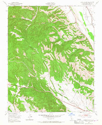
1949 Map of Hames Valley
USGS Topo · Published 1967About this map
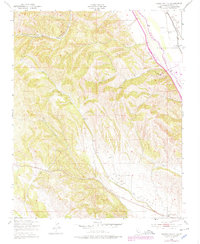
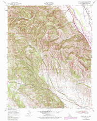
The Salinas River corridor and the surrounding canyons of southern Monterey County define this 1940s landscape. This survey, compiled from 1947 aerial photography, captures the agricultural and industrial infrastructure of the era, from the scattered Windmills supporting livestock to an Oil site. The Southern Pacific railroad follows the river valley through the San Bernardo land grant, providing a vital transport link for the region's ranching economy.
Find a feature on this map
16 named features on this map. Tap any name to fly to it.
Don’t see what you’re looking for? This feature index may not catch every label — zoom into the map to look around manually.
Map Details
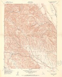
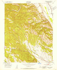
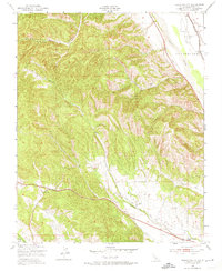
Editions of this 1949 Hames Valley Map
6 editions found
Other maps of this area

1912 · San Ardo
USGS Topo · 1:31,680

1915 · Priest Valley
USGS Topo · 1:125,000

1919 · King City
USGS Topo · 1:62,500

1919 · Bryson
USGS Topo · 1:62,500

1919 · Bradley
USGS Topo · 1:62,500

1939 · King City
USGS Topo · 1:62,500

1941 · San Ardo
USGS Topo · 1:62,500

1941 · Bradley
USGS Topo · 1:62,500

1941 · Bryson
USGS Topo · 1:62,500

1942 · Bryson
USGS Topo · 1:62,500