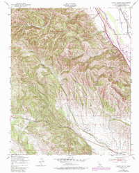
1949 Map of Hames Valley
USGS Topo · Published 1986About this map
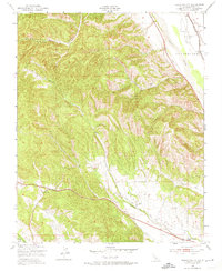
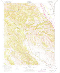
The Salinas River corridor defines the eastern edge of this landscape, serving as the primary artery for both transportation and industry in southern Monterey County. Along its western banks, the San Bernardo Oil Field represents a significant layer of the local resource economy, situated near the path of the Southern Pacific railroad. The terrain transitions from the river valley into a complex system of drainage and relief, including the broad reaches of Hames Valley and the winding Hames Creek. To the west, the land becomes more broken, characterized by numerous canyons and seasonal water sources like Los Lobos Spr. This 1949 survey, with subsequent revisions from the 1970s, captures the intersection of industrial extraction and the traditional grazing lands of Swain Valley and McCoy Canyon, providing a clear view of the rural infrastructure before modern expansions.
Find a feature on this map
10 named features on this map. Tap any name to fly to it.
Don’t see what you’re looking for? This feature index may not catch every label — zoom into the map to look around manually.
Map Details
Editions of this 1949 Hames Valley Map
6 editions found
Other maps of this area

1912 · San Ardo
USGS Topo · 1:31,680

1915 · Priest Valley
USGS Topo · 1:125,000

1919 · King City
USGS Topo · 1:62,500

1919 · Bryson
USGS Topo · 1:62,500

1919 · Bradley
USGS Topo · 1:62,500

1939 · King City
USGS Topo · 1:62,500

1941 · San Ardo
USGS Topo · 1:62,500

1941 · Bradley
USGS Topo · 1:62,500

1941 · Bryson
USGS Topo · 1:62,500

1942 · Bryson
USGS Topo · 1:62,500