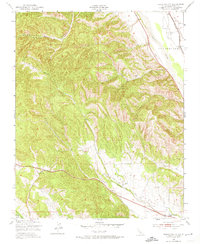
1949 Map of Hames Valley
USGS Topo · Published 1974About this map
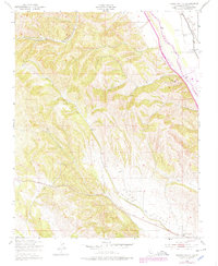
Hames Valley and its surrounding canyons are captured here just after the war, illustrating a rural Monterey County landscape defined by seasonal drainages and livestock infrastructure. The eastern edge of the map is dominated by the Salinas River corridor, where the Southern Pacific railroad follows the riverbank, connecting this agricultural region to the broader California rail network. Settlement is sparse, anchored by the Hames Valley Hall in the southeast corner. The terrain is marked by numerous Windmill sites and water sources like Los Lobos Spr, which supported the ranching operations throughout Garrissere Canyon and Wincey Canyon. This 1949 field check reveals the historic land divisions of San Bernardo, showing how topographic features like Swain Valley dictated the development of local roads and property boundaries.
Find a feature on this map
11 named features on this map. Tap any name to fly to it.
Don’t see what you’re looking for? This feature index may not catch every label — zoom into the map to look around manually.
Map Details
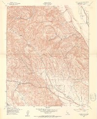
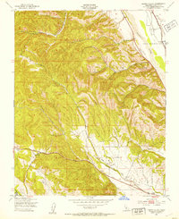
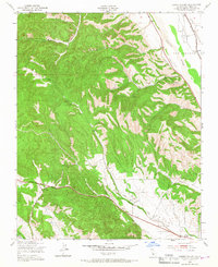
Editions of this 1949 Hames Valley Map
6 editions found
Other maps of this area

1912 · San Ardo
USGS Topo · 1:31,680

1915 · Priest Valley
USGS Topo · 1:125,000

1919 · King City
USGS Topo · 1:62,500

1919 · Bryson
USGS Topo · 1:62,500

1919 · Bradley
USGS Topo · 1:62,500

1939 · King City
USGS Topo · 1:62,500

1941 · San Ardo
USGS Topo · 1:62,500

1941 · Bradley
USGS Topo · 1:62,500

1941 · Bryson
USGS Topo · 1:62,500

1942 · Bryson
USGS Topo · 1:62,500