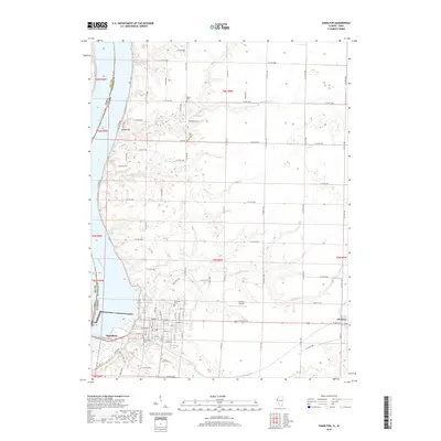
2018 Map of Hamilton
USGS Topo · Published 2018About this map
The Mississippi River defines the western edge of this landscape where the borders of Iowa and Illinois meet. The city of Hamilton serves as a focal point on the Illinois side, characterized by a structured grid of streets including Main St, Broadway St, and Keokuk St. The surrounding countryside is dotted with legacy sites such as Greenwood Cemetery and Oakwood Cemetery, which provide significant points of interest for those researching local family histories.
Find a feature on this map
51 named features on this map. Tap any name to fly to it.
Don’t see what you’re looking for? This feature index may not catch every label — zoom into the map to look around manually.
Map Details
Editions of this 2018 Hamilton Map
This is the sole edition of this map. No revisions or reprints were ever made.
Other maps of this area

1932 · Lomax
USGS Topo · 1:62,500

1933 · Carthage
USGS Topo · 1:62,500

1936 · Keokuk
USGS Topo · 1:62,500

1936 · Fort Madison
USGS Topo · 1:62,500

1937 · Carthage
USGS Topo · 1:62,500

1937 · Lomax
USGS Topo · 1:62,500

1950 · Keokuk
USGS Topo · 1:62,500

1958 · Burlington
USGS Topo · 1:250,000

1961 · Burlington
USGS Topo · 1:250,000

1963 · Burlington
USGS Topo · 1:250,000