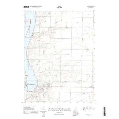
2021 Map of Hamilton
USGS Topo · Published 2021About this map
Hamilton stands on the eastern bank of the Mississippi River at a significant geographic and political junction where Illinois and Iowa meet. This modern survey illustrates the town's grid settled above the river bluffs, with street names like Broadway St and Main St defining the commercial core. The landscape to the east and north is defined by a dense concentration of local heritage sites, including Greenwood Cem, Oakwood Cem, and the more isolated Oak Grove Cem and Stearns Cem, which serve as vital markers for genealogical research in Hancock County.
Find a feature on this map
71 named features on this map. Tap any name to fly to it.
Don’t see what you’re looking for? This feature index may not catch every label — zoom into the map to look around manually.
Map Details
Editions of this 2021 Hamilton Map
This is the sole edition of this map. No revisions or reprints were ever made.
Other maps of this area

1932 · Lomax
USGS Topo · 1:62,500

1933 · Carthage
USGS Topo · 1:62,500

1936 · Keokuk
USGS Topo · 1:62,500

1936 · Fort Madison
USGS Topo · 1:62,500

1937 · Carthage
USGS Topo · 1:62,500

1937 · Lomax
USGS Topo · 1:62,500

1950 · Keokuk
USGS Topo · 1:62,500

1958 · Burlington
USGS Topo · 1:250,000

1961 · Burlington
USGS Topo · 1:250,000

1963 · Burlington
USGS Topo · 1:250,000