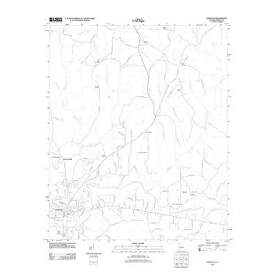
2011 Map of Hamilton
USGS Topo · Published 2011About this map
The Buttahatchee River winds through this Marion County landscape, anchoring the regional seat of Hamilton. The 2011 survey reveals a community deeply connected to its local heritage, evidenced by the high density of family and community burial grounds including the Cox Family Cemetery, Streetman Cemetery, and Poplar Log Cemetery. As the primary hub, Hamilton is charted with its essential infrastructure, from the Hamilton Post Office to the Hamilton City Cemetery and the nearby Marion County Airport.
Find a feature on this map
121 named features on this map. Tap any name to fly to it.
Don’t see what you’re looking for? This feature index may not catch every label — zoom into the map to look around manually.
Map Details
Editions of this 2011 Hamilton Map
This is the sole edition of this map. No revisions or reprints were ever made.
Other maps of this area

1936 · Hodges
USGS Topo · 1:24,000

1936 · South Of Hackleburg
USGS Topo · 1:24,000

1936 · Hackleburg
USGS Topo · 1:24,000

1936 · Vina
USGS Topo · 1:24,000

1946 · Hackleburg
USGS Topo · 1:24,000
1948 · Hackleburg
USGS Topo · 1:24,000

1949 · Hodges
USGS Topo · 1:24,000

1950 · Vina
USGS Topo · 1:24,000

1951 · Vina
USGS Topo · 1:24,000

1956 · Gadsden
USGS Topo · 1:250,000