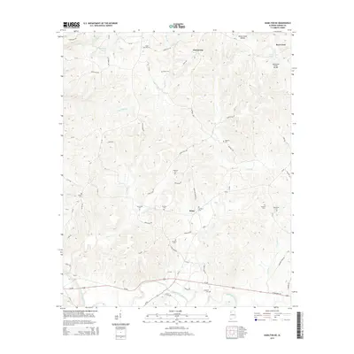
2014 Map of Hamilton NE
USGS Topo · Published 2014About this map
Hackleburg serves as the primary community in this portion of Marion County, where the topography is defined by the Tennessee Valley Divide and the Buttahatchee River basin. The landscape is a network of ridges and hollows, including Brush Creek Hollow and the drainage of Cook Br. For local historians and genealogists, the map is remarkably dense with family-named landmarks and burial sites, indicating a long-settled rural community.
Find a feature on this map
75 named features on this map. Tap any name to fly to it.
Don’t see what you’re looking for? This feature index may not catch every label — zoom into the map to look around manually.
Map Details
Editions of this 2014 Hamilton NE Map
This is the sole edition of this map. No revisions or reprints were ever made.
Other maps of this area

1936 · Hodges
USGS Topo · 1:24,000

1936 · Phil Campbell
USGS Topo · 1:24,000

1936 · South Of Hackleburg
USGS Topo · 1:24,000

1936 · Hackleburg
USGS Topo · 1:24,000

1936 · Goddard
USGS Topo · 1:24,000

1946 · Hackleburg
USGS Topo · 1:24,000

1946 · Phil Campbell
USGS Topo · 1:24,000

1947 · Phil Campbell
USGS Topo · 1:24,000
1948 · Hackleburg
USGS Topo · 1:24,000

1949 · Hodges
USGS Topo · 1:24,000