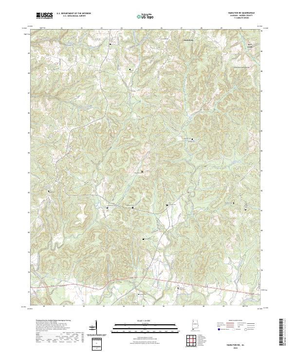
2024 Map of Hamilton NE
USGS Topo · Published 2024About this map
The Tennessee Valley Divide cuts through this portion of Marion County, marking the geographic separation between major watersheds. In the northern reaches, the landscape is defined by the headwaters of Bear Creek and its various tributaries like Green Branch and Camp Branch. Toward the southern boundary, the Buttahatchee River winds through the terrain, joined by Possum Branch and Goodwin Creek.
Find a feature on this map
78 named features on this map. Tap any name to fly to it.
Don’t see what you’re looking for? This feature index may not catch every label — zoom into the map to look around manually.
Map Details
Editions of this 2024 Hamilton NE Map
This is the sole edition of this map. No revisions or reprints were ever made.
Other maps of this area

1936 · Hodges
USGS Topo · 1:24,000

1936 · Phil Campbell
USGS Topo · 1:24,000

1936 · South Of Hackleburg
USGS Topo · 1:24,000

1936 · Hackleburg
USGS Topo · 1:24,000

1936 · Goddard
USGS Topo · 1:24,000

1946 · Hackleburg
USGS Topo · 1:24,000

1946 · Phil Campbell
USGS Topo · 1:24,000

1947 · Phil Campbell
USGS Topo · 1:24,000
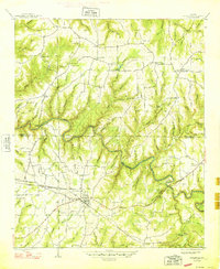
1948 · Hackleburg
USGS Topo · 1:24,000

1949 · Hodges
USGS Topo · 1:24,000