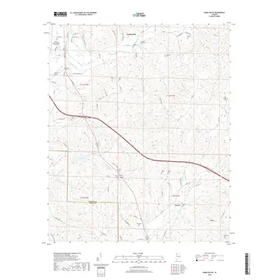
2018 Map of Hamilton SW
USGS Topo · Published 2018About this map
The Buttahatchee River meanders across this Northwest Alabama landscape, defining the topography south of Hamilton. This region is characterized by a dense network of watercourses, including Woods Cr, Whitley Cr, and Dugan Cr, which feed into larger systems like County Lake. The map reveals a deeply rooted rural community, marked by numerous family-named burial grounds such as Williams Cem, Terrell Cem, and McKinley Cem.
Find a feature on this map
85 named features on this map. Tap any name to fly to it.
Don’t see what you’re looking for? This feature index may not catch every label — zoom into the map to look around manually.
Map Details
Editions of this 2018 Hamilton SW Map
This is the sole edition of this map. No revisions or reprints were ever made.
Other maps of this area

1936 · South Of Hackleburg
USGS Topo · 1:24,000

1953 · Birmingham
USGS Topo · 1:250,000

1953 · West Point
USGS Topo · 1:250,000

1956 · Birmingham
USGS Topo · 1:250,000

1956 · Gadsden
USGS Topo · 1:250,000

1956 · Tupelo
USGS Topo · 1:250,000

1957 · Birmingham
USGS Topo · 1:250,000

1958 · Tupelo
USGS Topo · 1:250,000

1958 · West Point
USGS Topo · 1:250,000

1958 · Gadsden
USGS Topo · 1:250,000