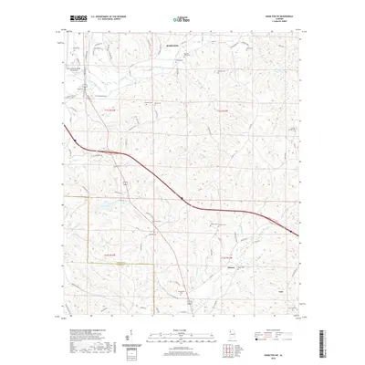
2020 Map of Hamilton SW
USGS Topo · Published 2020About this map
The Buttahatchee River meanders through the northwest corner of this Marion County landscape, defining a terrain of numerous creek branches and ridges south of Hamilton. The 2020 map documents a transition between the municipal borders of Hamilton and Guin, connected by the corridor of Military St S. This area is particularly dense with small family and community burial grounds, including the Philadelphia Cem, Donham Cem, and McKinley Cem, which serve as vital markers for genealogical research in this part of Alabama.
Find a feature on this map
75 named features on this map. Tap any name to fly to it.
Don’t see what you’re looking for? This feature index may not catch every label — zoom into the map to look around manually.
Map Details
Editions of this 2020 Hamilton SW Map
This is the sole edition of this map. No revisions or reprints were ever made.
Other maps of this area

1936 · South Of Hackleburg
USGS Topo · 1:24,000

1953 · Birmingham
USGS Topo · 1:250,000

1953 · West Point
USGS Topo · 1:250,000

1956 · Birmingham
USGS Topo · 1:250,000

1956 · Gadsden
USGS Topo · 1:250,000

1956 · Tupelo
USGS Topo · 1:250,000

1957 · Birmingham
USGS Topo · 1:250,000

1958 · Tupelo
USGS Topo · 1:250,000

1958 · West Point
USGS Topo · 1:250,000

1958 · Gadsden
USGS Topo · 1:250,000