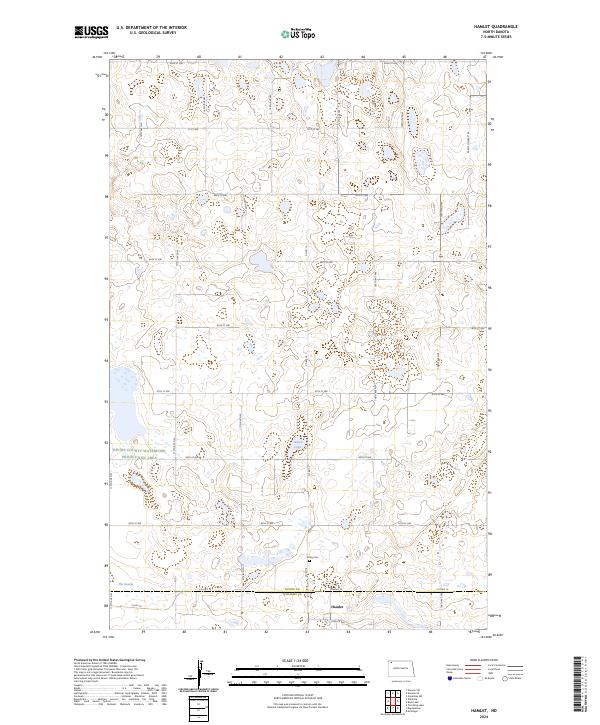
2024 Map of Hamlet
USGS Topo · Published 2024About this map
Hamlet sits near the southern edge of this landscape, just north of the Divide Co Williams Co line. The terrain is defined by the high concentration of prairie potholes and wetlands typical of the Missouri Coteau, including Jensen Lake and a feature aptly named The Swamp. These water bodies are protected through fragmented sections of the Divide County Waterfowl Production Area and the Williams County Waterfowl Production Area, which dominate much of the public land usage here. Away from the lakes, a rigid grid of section-line roads, such as 110th Ave NW and 91st St NW, facilitates access to the surrounding agricultural fields. Trinity Cem serves as a small but significant local landmark for genealogists, located along Co Rd 19 near the boundary of Township 160 North.
Find a feature on this map
35 named features on this map. Tap any name to fly to it.
Don’t see what you’re looking for? This feature index may not catch every label — zoom into the map to look around manually.
Map Details
Editions of this 2024 Hamlet Map
This is the sole edition of this map. No revisions or reprints were ever made.
Other maps of this area

1949 · Columbus SW
USGS Topo · 1:24,000

1949 · Noonan SW
USGS Topo · 1:24,000

1949 · Noonan SE
USGS Topo · 1:24,000

1950 · Columbus
USGS Topo · 1:62,500

1950 · Noonan
USGS Topo · 1:62,500

1953 · Williston
USGS Topo · 1:250,000

1957 · Williston
USGS Topo · 1:250,000

1974 · Wildrose
USGS Topo · 1:24,000

1974 · Tom Berg Lake
USGS Topo · 1:24,000

1974 · Hamlet
USGS Topo · 1:24,000