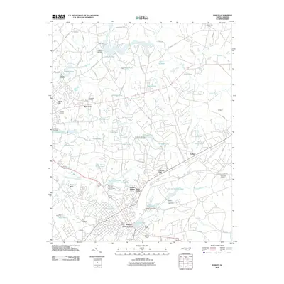
2010 Map of Hamlet
USGS Topo · Published 2010About this map
The Hamlet rail hub and its surrounding millponds define this Richmond County landscape as it appeared in the early 21st century. The density of water management features, including Gibsons Millpond, Roberdel Pond, and Ledbetter Lake, reflects a long-standing industrial reliance on Hitchcock Creek and Falling Creek. The town center is flanked by diverse residential districts such as Dobbins Heights, East Hamlet, and New Town, while the CSX RR lines remain the central artery of the local economy.
Find a feature on this map
111 named features on this map. Tap any name to fly to it.
Don’t see what you’re looking for? This feature index may not catch every label — zoom into the map to look around manually.
Map Details
Editions of this 2010 Hamlet Map
This is the sole edition of this map. No revisions or reprints were ever made.
Other maps of this area

1942 · Troy
USGS Topo · 1:125,000

1942 · Rockingham
USGS Topo · 1:125,000

1949 · Gibson
USGS Topo · 1:24,000

1949 · Millstone Lake
USGS Topo · 1:24,000

1949 · Ghio
USGS Topo · 1:24,000

1949 · Hoffman
USGS Topo · 1:24,000

1949 · Marston
USGS Topo · 1:24,000

1949 · Hamlet
USGS Topo · 1:24,000

1949 · Hamlet
USGS Topo · 1:62,500

1949 · Jackson Springs
USGS Topo · 1:62,500