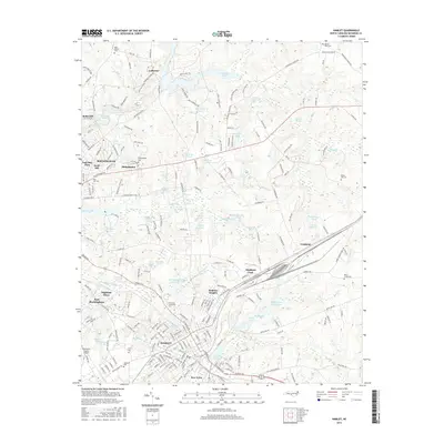
2016 Map of Hamlet
USGS Topo · Published 2016About this map
Hamlet and Rockingham anchor this Richmond County survey, which reveals a landscape defined by an intricate network of millponds and creek systems. To the north, Ledbetter Lake and Gibsons Millpond suggest the area's enduring relationship with water power and local industry. The rail lines of the CSX corridor cut through the center of the sheet, linking Fruitland and Dobbins Heights with the major transportation hub at Hamlet. Genealogists will find a wealth of family history across the map, from the Bethel Hill Cem in the east to the Marks Creek Cem and Hopewell Cem located near the town centers. Institutional growth is visible at the Richmond Community College campus and the adjacent Richmond Technical Institute Lake, illustrating the mid-century expansion of educational infrastructure in North Carolina's Piedmont region.
Find a feature on this map
233 named features on this map. Tap any name to fly to it.
Don’t see what you’re looking for? This feature index may not catch every label — zoom into the map to look around manually.
Map Details
Editions of this 2016 Hamlet Map
This is the sole edition of this map. No revisions or reprints were ever made.
Other maps of this area

1942 · Troy
USGS Topo · 1:125,000

1942 · Rockingham
USGS Topo · 1:125,000

1949 · Gibson
USGS Topo · 1:24,000

1949 · Millstone Lake
USGS Topo · 1:24,000

1949 · Ghio
USGS Topo · 1:24,000

1949 · Hoffman
USGS Topo · 1:24,000

1949 · Marston
USGS Topo · 1:24,000

1949 · Hamlet
USGS Topo · 1:24,000

1949 · Hamlet
USGS Topo · 1:62,500

1949 · Jackson Springs
USGS Topo · 1:62,500