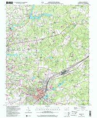
2022 Map of Hamlet
USGS Topo · Published 2022About this map
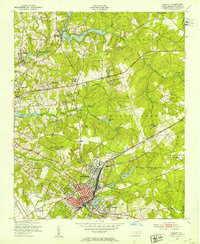
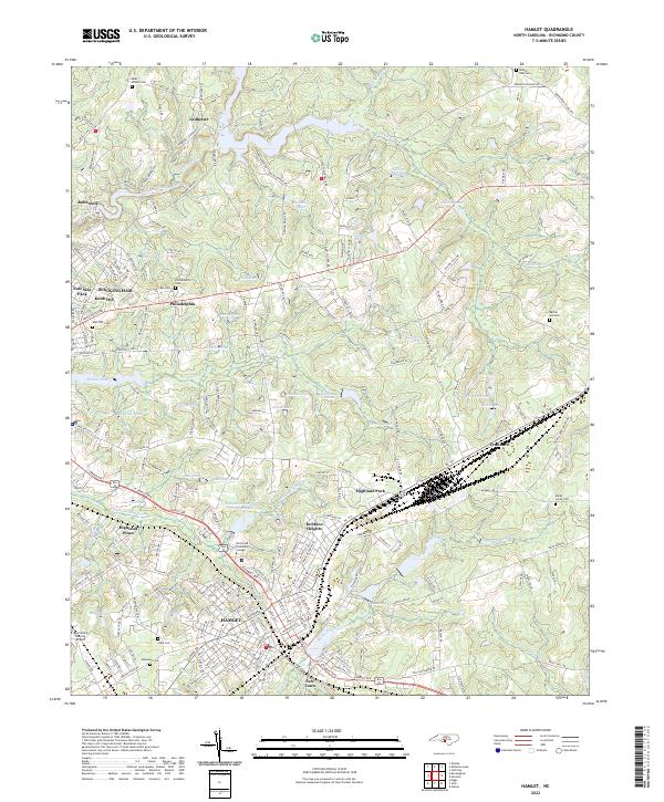
Hamlet and its neighbors in Richmond County are defined by a dense network of water and rail that fueled the region's industrial and agricultural history. The CSX RR line serves as a central spine, passing through the urban centers of Highland Park and Dobbins Heights before intersecting with the surrounding rural landscape. To the north, the impoundments of Hitchcock Creek — including Ledbetter Pond and Gibsons Millpond — illustrate how local waterpower was harnessed for the area's early mills. This survey captures a modern view of longstanding communities like Philadelphia and Fruitland, while also documenting newer civic landmarks such as the Richmond Technical Institute and the Richmond County Airport. Genealogists will find a variety of family and community burial grounds, from Philadelphia Cem to the Marks Creek Cem near the eastern boundary, providing essential data for tracing local family roots.
Find a feature on this map
253 named features on this map. Tap any name to fly to it.
Don’t see what you’re looking for? This feature index may not catch every label — zoom into the map to look around manually.
Map Details
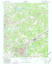
Editions of this 2022 Hamlet Map
This is the sole edition of this map. No revisions or reprints were ever made.
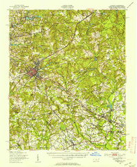
Historical Maps of Fruitland Through Time
6 maps found