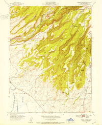
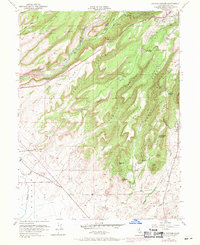
1951 Map of Hamlin Canyon
USGS Topo · Published 1952About this map
The ridge-and-canyon landscape of Butte County is defined by steep volcanic fingers extending toward the valley, a geography that dictated the early settlement and infrastructure of the region. On the northeastern plateau, the community of Paradise sits at the head of deep drainages like Hamlin Canyon and Nugen Canyon, while the southern reaches transition into the lower elevations near Esquon Slough. Evidence of the area's resource-driven history is visible in the extensive Tailings along Little Butte Creek and the numerous named ridges like Doe Mill Ridge and McKay Berry Ridge. The transportation network is anchored by the Skyway and Neal Road, following the natural contours of the land. Local landmarks such as the Elliot Spring House and the Clear Creek Sch (Aband) provide specific points of interest for those researching the mid-century rural development and educational history of the foothills.
Find a feature on this map
42 named features on this map. Tap any name to fly to it.
Don’t see what you’re looking for? This feature index may not catch every label — zoom into the map to look around manually.
Map Details
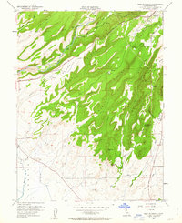
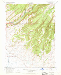
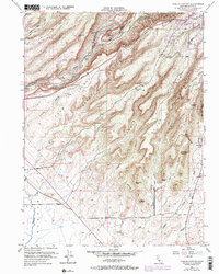
Editions of this 1951 Hamlin Canyon Map
5 editions found
Other maps of this area

1891 · Chico
USGS Topo · 1:125,000

1893 · Chico
USGS Topo · 1:125,000

1895 · Chico
USGS Topo · 1:125,000

1912 · Dry Creek
USGS Topo · 1:31,680

1912 · Durham
USGS Topo · 1:31,680

1912 · Oroville
USGS Topo · 1:31,680

1912 · Nelson
USGS Topo · 1:31,680

1912 · Keefers
USGS Topo · 1:31,680

1912 · Clear Creek
USGS Topo · 1:31,680

1942 · Oroville
USGS Topo · 1:62,500