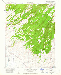
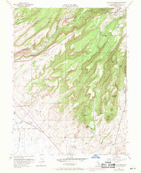
1951 Map of Hamlin Canyon
USGS Topo · Published 1963About this map
Butte Creek carves a deep path through this portion of the northern Sacramento Valley, where the terrain shifts from the flatlands of the Hamlin Slough to the prominent heights of Doe Mill Ridge and Nance Ridge. This 1951 survey illustrates a landscape defined by water management and early transportation, featuring an Irrigation Ditch, a Flume, and extensive tailings along the creek beds that point to the region's hydraulic history.
Find a feature on this map
49 named features on this map. Tap any name to fly to it.
Don’t see what you’re looking for? This feature index may not catch every label — zoom into the map to look around manually.
Map Details
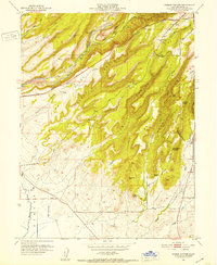
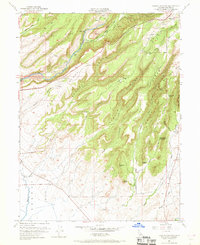
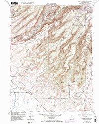
Editions of this 1951 Hamlin Canyon Map
5 editions found
Other maps of this area

1891 · Chico
USGS Topo · 1:125,000

1893 · Chico
USGS Topo · 1:125,000

1895 · Chico
USGS Topo · 1:125,000

1912 · Dry Creek
USGS Topo · 1:31,680

1912 · Durham
USGS Topo · 1:31,680

1912 · Oroville
USGS Topo · 1:31,680

1912 · Nelson
USGS Topo · 1:31,680

1912 · Keefers
USGS Topo · 1:31,680

1912 · Clear Creek
USGS Topo · 1:31,680

1942 · Oroville
USGS Topo · 1:62,500