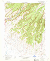
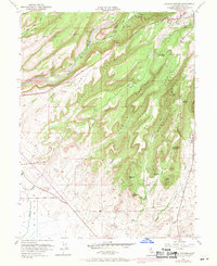
1951 Map of Hamlin Canyon
USGS Topo · Published 1969About this map
Butte Creek carves a deep path through this landscape, flanked by prominent features like Mill Ridge and Nance Ridge. The map documents the northern California foothills as they appeared in the early 1950s, showing the intersection of heavy transport and natural terrain. The Southern Pacific and Chico Southern railroad lines traverse the higher elevations near Paradise, which sits along the northeastern edge.
Find a feature on this map
52 named features on this map. Tap any name to fly to it.
Don’t see what you’re looking for? This feature index may not catch every label — zoom into the map to look around manually.
Map Details
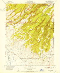
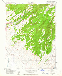
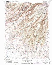
Editions of this 1951 Hamlin Canyon Map
5 editions found
Other maps of this area

1891 · Chico
USGS Topo · 1:125,000

1893 · Chico
USGS Topo · 1:125,000

1895 · Chico
USGS Topo · 1:125,000

1912 · Dry Creek
USGS Topo · 1:31,680

1912 · Durham
USGS Topo · 1:31,680

1912 · Oroville
USGS Topo · 1:31,680

1912 · Nelson
USGS Topo · 1:31,680

1912 · Keefers
USGS Topo · 1:31,680

1912 · Clear Creek
USGS Topo · 1:31,680

1942 · Oroville
USGS Topo · 1:62,500