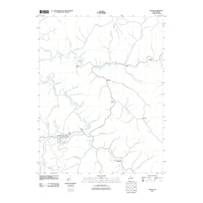
2011 Map of Hamlin
USGS Topo · Published 2011About this map
The Mud River meanders through the heart of this Appalachian landscape, anchoring the town of Hamlin and several smaller hollow settlements in the early 21st century. The geography is defined by a dense network of winding creek valleys, including Coon Creek and Big Creek, where residences and roads like Mud River Rd follow the narrow bottomlands. Local genealogy is well-represented through several family-named landmarks and burial sites, such as the Lincoln Memorial Cemetery and Roberts Cemetery to the north.
Find a feature on this map
66 named features on this map. Tap any name to fly to it.
Don’t see what you’re looking for? This feature index may not catch every label — zoom into the map to look around manually.
Map Details
Editions of this 2011 Hamlin Map
This is the sole edition of this map. No revisions or reprints were ever made.
Other maps of this area

1892 · Huntington
USGS Topo · 1:125,000

1898 · Huntington
USGS Topo · 1:125,000

1899 · Charleston
USGS Topo · 1:125,000

1902 · Milton
USGS Topo · 1:62,500

1902 · Midkiff
USGS Topo · 1:62,500

1907 · Midkiff
USGS Topo · 1:62,500

1909 · Midkiff
USGS Topo · 1:62,500

1909 · Saint Albans
USGS Topo · 1:62,500

1911 · Madison
USGS Topo · 1:62,500

1929 · Madison
USGS Topo · 1:62,500