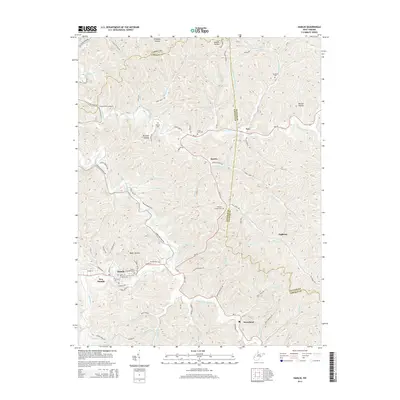
2014 Map of Hamlin
USGS Topo · Published 2014About this map
Hamlin serves as the focal point of this 2014 survey, situated along the winding course of the Mud River in the heart of Lincoln County. The town is paired with New Hamlin and several outlying rural settlements including Bowles, Nye, and Sweetland, which are connected by a network of state routes like WV-34 and numerous county roads. The landscape is defined by its deep drainage patterns, where local life follows hollows such as Wolfpen Hollow and Buckeye Hollow, and smaller waterways like Trace Fork Mud River and Big Creek.
Find a feature on this map
102 named features on this map. Tap any name to fly to it.
Don’t see what you’re looking for? This feature index may not catch every label — zoom into the map to look around manually.
Map Details
Editions of this 2014 Hamlin Map
This is the sole edition of this map. No revisions or reprints were ever made.
Other maps of this area

1892 · Huntington
USGS Topo · 1:125,000

1898 · Huntington
USGS Topo · 1:125,000

1899 · Charleston
USGS Topo · 1:125,000

1902 · Milton
USGS Topo · 1:62,500

1902 · Midkiff
USGS Topo · 1:62,500

1907 · Midkiff
USGS Topo · 1:62,500

1909 · Midkiff
USGS Topo · 1:62,500

1909 · Saint Albans
USGS Topo · 1:62,500

1911 · Madison
USGS Topo · 1:62,500

1929 · Madison
USGS Topo · 1:62,500