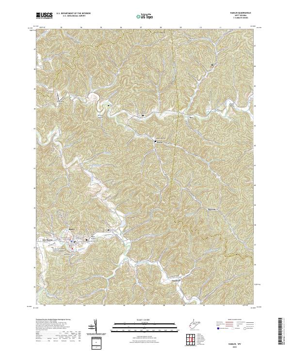
2023 Map of Hamlin
USGS Topo · Published 2023About this map
Hamlin serves as the focal point of this Lincoln County survey, situated along the winding banks of the Mud River. The settlement pattern follows the narrow valley floors and ridgelines characteristic of the region, with the Lincoln County Courthouse marking the civic heart of the area. This modern snapshot reveals a landscape where traditional family-named hollows like Buckeye Hollow and Nelson Hollow coexist with contemporary institutions such as the Southern West Virginia Community and Technical College - Lincoln Site.
Find a feature on this map
104 named features on this map. Tap any name to fly to it.
Don’t see what you’re looking for? This feature index may not catch every label — zoom into the map to look around manually.
Map Details
Editions of this 2023 Hamlin Map
This is the sole edition of this map. No revisions or reprints were ever made.
Other maps of this area

1892 · Huntington
USGS Topo · 1:125,000

1898 · Huntington
USGS Topo · 1:125,000

1899 · Charleston
USGS Topo · 1:125,000

1902 · Milton
USGS Topo · 1:62,500

1902 · Midkiff
USGS Topo · 1:62,500

1907 · Midkiff
USGS Topo · 1:62,500

1909 · Midkiff
USGS Topo · 1:62,500

1909 · Saint Albans
USGS Topo · 1:62,500

1911 · Madison
USGS Topo · 1:62,500

1929 · Madison
USGS Topo · 1:62,500