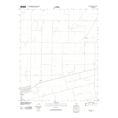
2010 Map of Hamlin NE
USGS Topo · Published 2010About this map
Hamlin serves as the primary population center in this part of West Texas, anchoring a landscape defined by organized agricultural plots and a network of county roads. The settlement of Pastura is situated to the northeast, where the land begins to slope toward the drainage of Paint Creek. For those researching local history or genealogy, East Cemetery is a prominent landmark located along the highway between the town and the rural expanses to the east. The terrain is marked by seasonal watercourses, including the meandering paths of California Creek and Dry California Creek, which reflect the area's arid geography and reliance on managed water resources like Headquarters Tank. This survey illustrates the systematic grid of rural transit that supported the cattle and farming operations of the early twenty-first century.
Find a feature on this map
34 named features on this map. Tap any name to fly to it.
Don’t see what you’re looking for? This feature index may not catch every label — zoom into the map to look around manually.
Map Details
Editions of this 2010 Hamlin NE Map
This is the sole edition of this map. No revisions or reprints were ever made.
Other maps of this area

1891 · Anson
USGS Topo · 1:125,000

1893 · Roby
USGS Topo · 1:125,000

1893 · Anson
USGS Topo · 1:125,000

1931 · Aspermont
USGS Topo · 1:62,500

1954 · Lubbock
USGS Topo · 1:250,000

1954 · Big Spring
USGS Topo · 1:250,000

1954 · Abilene
USGS Topo · 1:250,000

1954 · Wichita Falls
USGS Topo · 1:250,000

1958 · Big Spring
USGS Topo · 1:250,000

1958 · Wichita Falls
USGS Topo · 1:250,000