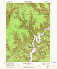
1946 Map of Hammersley Fork
USGS Topo · Published 1972About this map
Kettle Creek winds through the heart of northern Clinton County, carving a dramatic valley that defines the local geography. In the mid-20th century, the small settlements of Hammersley Fork and Leidy served as anchors for this rural landscape, connected by river-bottom roads and a high-altitude pipeline corridor crossing the ridges. The map reveals the deep-rooted family history of the area through numerous named landmarks such as Summerson Hollow, Calhoun Cem, and McCoy Cem, which sit alongside the steep slopes of Trout Run Mtn and Fork Hill. A network of tributary runs, including Hammersley Fork and Trout Run, feed into the main creek, while high points like BM 2203 mark the surrounding plateau. Educational and spiritual life is recorded at the Central Sch and the Gospel Camp Ch, illustrating the community structure of these remote Pennsylvania hollows.
Find a feature on this map
76 named features on this map. Tap any name to fly to it.
Don’t see what you’re looking for? This feature index may not catch every label — zoom into the map to look around manually.
Map Details
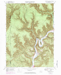
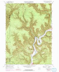
Editions of this 1946 Hammersley Fork Map
4 editions found
Other maps of this area

1945 · Driftwood
USGS Topo · 1:48,000

1945 · First Fork
USGS Topo · 1:24,000

1945 · Sinnemahoning
USGS Topo · 1:24,000

1946 · Renovo West
USGS Topo · 1:62,500

1946 · Hammersley Fork
USGS Topo · 1:24,000

1946 · Keating
USGS Topo · 1:24,000

1946 · Tamarack
USGS Topo · 1:24,000

1946 · Renovo West
USGS Topo · 1:24,000

1947 · First Fork
USGS Topo · 1:24,000

1947 · Sinnemahoning
USGS Topo · 1:24,000
Featured Places
- Leidy Township, PA
- Wharton Township, PA
- East Keating Township, PA
- Grove Township, PA
- Hammersley Fork, Leidy Township