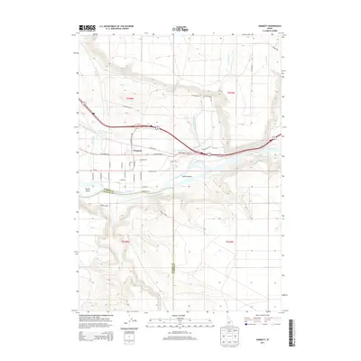
2013 Map of Hammett
USGS Topo · Published 2013About this map
The Snake River winds through this high-desert landscape in Elmore and Owyhee counties, anchoring a region defined by its water management and transit routes. The settlement of Hammett sits north of the river, surrounded by an intricate grid of local roads and irrigation infrastructure like the King Hill Main Canal. This waterway, along with numerous creeks such as Bennett Cr and Cold Springs Cr, supports the agricultural life of the valley.
Find a feature on this map
43 named features on this map. Tap any name to fly to it.
Don’t see what you’re looking for? This feature index may not catch every label — zoom into the map to look around manually.
Map Details
Editions of this 2013 Hammett Map
This is the sole edition of this map. No revisions or reprints were ever made.
Other maps of this area

1892 · Mountain Home
USGS Topo · 1:125,000

1892 · Camas Prairie
USGS Topo · 1:125,000

1893 · Mountain Home
USGS Topo · 1:125,000

1893 · Camas Prairie
USGS Topo · 1:125,000

1947 · Indian Cove
USGS Topo · 1:24,000

1947 · Hammett
USGS Topo · 1:24,000

1947 · Glenns Ferry
USGS Topo · 1:24,000

1948 · Hammett
USGS Topo · 1:24,000

1948 · Glenns Ferry
USGS Topo · 1:24,000

1948 · Indian Cove
USGS Topo · 1:24,000