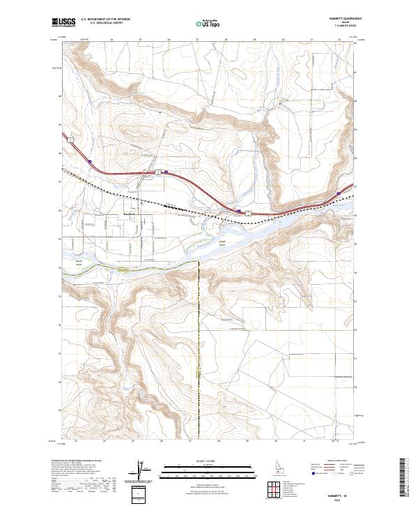
2024 Map of Hammett
USGS Topo · Published 2024About this map
The Snake River carves a deep valley through this desert landscape, defining the border between Elmore and Owyhee counties. The small settlement of Hammett serves as the focal point for local infrastructure, where the King Hill Main Canal and the historic Old Oregon Trail Hwy parallel the river's northern bank. This corridor is rich with named landmarks like Schoffs Island and Sparlin Island, as well as the distinctive passage known as The Narrows.
Find a feature on this map
48 named features on this map. Tap any name to fly to it.
Don’t see what you’re looking for? This feature index may not catch every label — zoom into the map to look around manually.
Map Details
Editions of this 2024 Hammett Map
This is the sole edition of this map. No revisions or reprints were ever made.
Other maps of this area

1892 · Mountain Home
USGS Topo · 1:125,000

1892 · Camas Prairie
USGS Topo · 1:125,000

1893 · Mountain Home
USGS Topo · 1:125,000

1893 · Camas Prairie
USGS Topo · 1:125,000

1947 · Indian Cove
USGS Topo · 1:24,000

1947 · Hammett
USGS Topo · 1:24,000

1947 · Glenns Ferry
USGS Topo · 1:24,000

1948 · Hammett
USGS Topo · 1:24,000

1948 · Glenns Ferry
USGS Topo · 1:24,000

1948 · Indian Cove
USGS Topo · 1:24,000