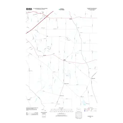
2013 Map of Hammett
USGS Topo · Published 2013About this map
Lake Pleasant and its surrounding wetlands form the southern anchor of this Erie County landscape, where the headwaters of the E Br LeBoeuf Cr and Sixmile Cr define the drainage of the glacial terrain. The map reveals a high density of "corner" settlements, a traditional Pennsylvania pattern of rural development centered at road intersections. Places like Bogus Corners, Owens Corners, Weeds Corners, and Yaple Corners illustrate how local nomenclature often preserved family names and vernacular identities well into the 21st century.
Find a feature on this map
95 named features on this map. Tap any name to fly to it.
Don’t see what you’re looking for? This feature index may not catch every label — zoom into the map to look around manually.
Map Details
Editions of this 2013 Hammett Map
This is the sole edition of this map. No revisions or reprints were ever made.
Other maps of this area
1899 · Erie
USGS Topo · 1:62,500
1900 · Erie
USGS Topo · 1:62,500
1913 · North East
USGS Topo · 1:62,500
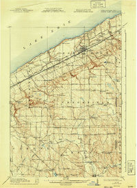
1915 · North East
USGS Topo · 1:62,500
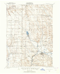
1923 · Cambridge Springs
USGS Topo · 1:62,500
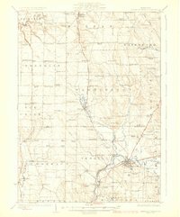
1925 · Cambridge Springs
USGS Topo · 1:62,500
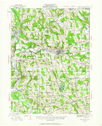
1929 · Union City
USGS Topo · 1:62,500
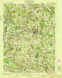
1932 · Union City
USGS Topo · 1:62,500
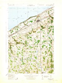
1943 · North East
USGS Topo · 1:62,500
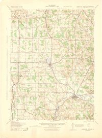
1943 · Cambridge Springs
USGS Topo · 1:62,500