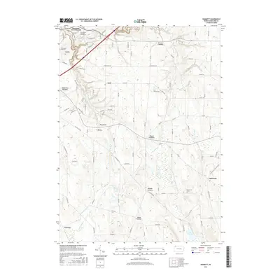
2016 Map of Hammett
USGS Topo · Published 2016About this map
Lake Pleasant and the headwaters of the E Br LeBoeuf Cr define the rural character of this Erie County landscape. The area is marked by a series of crossroads hamlets, reflecting a long-standing pattern of dispersed agricultural settlement. Locations like Bogus Corners, Weeds Corners, and Owens Corners emphasize the local importance of these intersections in the township's development.
Find a feature on this map
90 named features on this map. Tap any name to fly to it.
Don’t see what you’re looking for? This feature index may not catch every label — zoom into the map to look around manually.
Map Details
Editions of this 2016 Hammett Map
This is the sole edition of this map. No revisions or reprints were ever made.
Other maps of this area

1899 · Erie
USGS Topo · 1:62,500

1900 · Erie
USGS Topo · 1:62,500

1913 · North East
USGS Topo · 1:62,500

1915 · North East
USGS Topo · 1:62,500

1923 · Cambridge Springs
USGS Topo · 1:62,500

1925 · Cambridge Springs
USGS Topo · 1:62,500

1929 · Union City
USGS Topo · 1:62,500

1932 · Union City
USGS Topo · 1:62,500

1943 · North East
USGS Topo · 1:62,500

1943 · Cambridge Springs
USGS Topo · 1:62,500