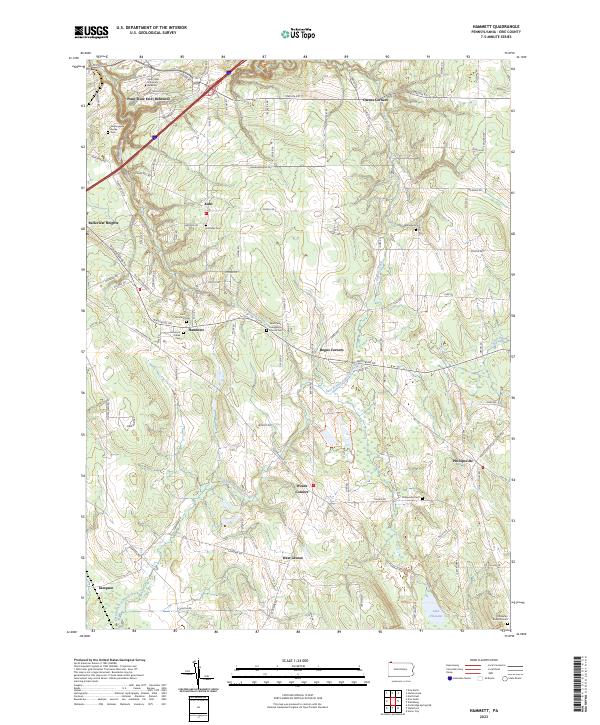
2023 Map of Hammett
USGS Topo · Published 2023About this map
Wintergreen Gorge and its surrounding woodlands dominate the northwestern corner of this landscape, where the campus of Penn State Erie (Behrend) meets the steep ravines carved by local tributaries. Moving southeast, the terrain transitions into a patchwork of rural crossroads and agricultural land, anchored by small settlements like Hammett and Phillipsville. The area is notably dense with commemorative sites, ranging from the Old Butler Burial Ground near the southern border to several denominational cemeteries like Saint Boniface Cem and the Saint Pauls Evangelical Church Cem.
Find a feature on this map
99 named features on this map. Tap any name to fly to it.
Don’t see what you’re looking for? This feature index may not catch every label — zoom into the map to look around manually.
Map Details
Editions of this 2023 Hammett Map
This is the sole edition of this map. No revisions or reprints were ever made.
Other maps of this area

1899 · Erie
USGS Topo · 1:62,500

1900 · Erie
USGS Topo · 1:62,500

1913 · North East
USGS Topo · 1:62,500

1915 · North East
USGS Topo · 1:62,500

1923 · Cambridge Springs
USGS Topo · 1:62,500

1925 · Cambridge Springs
USGS Topo · 1:62,500

1929 · Union City
USGS Topo · 1:62,500

1932 · Union City
USGS Topo · 1:62,500

1943 · North East
USGS Topo · 1:62,500

1943 · Cambridge Springs
USGS Topo · 1:62,500
Featured Places
- Harborcreek Township, PA
- Greene Township, PA
- Summit Township, PA
- Venango Township, PA
- Greenfield Township, PA