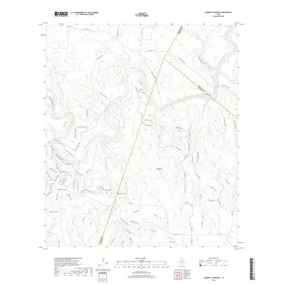
2019 Map of Hammetts Crossing
USGS Topo · Published 2019About this map
The Pedernales River meanders through this portion of the Texas Hill Country, where the borders of Travis, Hays, and Blanco counties converge. This 2019 survey documents a landscape defined by significant water features and ranching heritage, including the well-known Hamilton Pool and West Cave Spring in the northeast quadrant. The map reveals the intricate drainage system of the area, featuring Cypress Cr, Sycamore Cr, and Flat Cr, alongside the notable Dead Man's Hole.
Find a feature on this map
85 named features on this map. Tap any name to fly to it.
Don’t see what you’re looking for? This feature index may not catch every label — zoom into the map to look around manually.
Map Details
Editions of this 2019 Hammetts Crossing Map
This is the sole edition of this map. No revisions or reprints were ever made.
Other maps of this area

1887 · Blanco
USGS Topo · 1:125,000

1894 · Blanco
USGS Topo · 1:125,000

1930 · Blanco-1
USGS Topo · 1:48,000

1954 · Llano
USGS Topo · 1:250,000

1955 · Llano
USGS Topo · 1:250,000

1956 · Llano
USGS Topo · 1:250,000
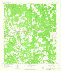
1963 · Dripping Springs
USGS Topo · 1:24,000

1963 · Yeager Creek
USGS Topo · 1:24,000
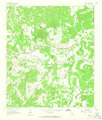
1963 · Henly
USGS Topo · 1:24,000
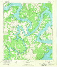
1967 · Pace Bend
USGS Topo · 1:24,000