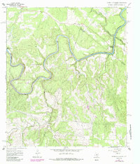
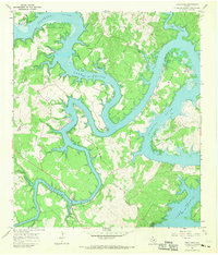
1967 Map of Hammetts Crossing
USGS Topo · Published 1987About this map
Pedernales River waters carve a deep path through the Texas Hill Country in this late-1960s survey, marking the intersection of Blanco, Hays, and Travis counties. The landscape is defined by its dramatic hydrology, from the churning cascades at Pedernales Falls to the submerged reaches of Lake Travis further downstream. The namesake Hammetts Crossing and the nearby Dead Mans Ford suggest the historical necessity of specific river transit points in a region of sharp relief and narrow limestone canyons. Within Pedernales Falls State Park, the terrain reveals the transition from upland flats to the steep drainage of Hamilton Creek and Flat Creek. This edition also captures local landmarks such as Hamilton Pool and Dead Mans Hole, alongside evidence of utility expansions like the Pipeline corridors crossing the wooded ridges.
Find a feature on this map
20 named features on this map. Tap any name to fly to it.
Don’t see what you’re looking for? This feature index may not catch every label — zoom into the map to look around manually.
Map Details
Editions of this 1967 Hammetts Crossing Map
2 editions found
Other maps of this area

1887 · Blanco
USGS Topo · 1:125,000

1894 · Blanco
USGS Topo · 1:125,000

1930 · Blanco-1
USGS Topo · 1:48,000

1954 · Llano
USGS Topo · 1:250,000

1955 · Llano
USGS Topo · 1:250,000

1956 · Llano
USGS Topo · 1:250,000
1963 · Dripping Springs
USGS Topo · 1:24,000

1963 · Yeager Creek
USGS Topo · 1:24,000
1963 · Henly
USGS Topo · 1:24,000
1967 · Pace Bend
USGS Topo · 1:24,000