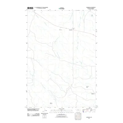
2011 Map of Hammond
USGS Topo · Published 2011About this map
Hammond serves as the focal point of this Carter County landscape, situated where Espy Rd meets Crow Creek Rd. The presence of the Hammond Post Office marks the hub of this rural community in 2011. The surrounding terrain is defined by a series of significant water management features, including Aldrich Dam, Velvet Dam, and reservoirs associated with Gerald Craft, specifically Gerald Craft Number 3 Dam and Gerald Craft Number 5 Dam.
Find a feature on this map
16 named features on this map. Tap any name to fly to it.
Don’t see what you’re looking for? This feature index may not catch every label — zoom into the map to look around manually.
Map Details
Editions of this 2011 Hammond Map
This is the sole edition of this map. No revisions or reprints were ever made.
Other maps of this area

1954 · Ekalaka
USGS Topo · 1:250,000

1956 · Ekalaka
USGS Topo · 1:250,000

1958 · Ekalaka
USGS Topo · 1:250,000

1965 · Ekalaka
USGS Topo · 1:250,000
1970 · Belle Creek North
USGS Topo · 1:24,000
1970 · Belle Creek South
USGS Topo · 1:24,000
1970 · Stack Rocks
USGS Topo · 1:24,000
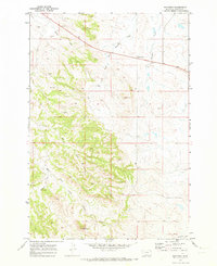
1970 · Hammond
USGS Topo · 1:24,000
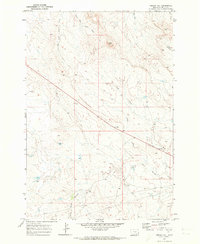
1970 · Greasy Hill
USGS Topo · 1:24,000
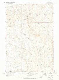
1970 · Hammond SE
USGS Topo · 1:24,000