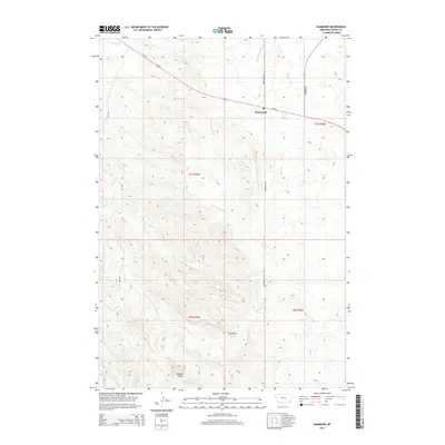
2014 Map of Hammond
USGS Topo · Published 2014About this map
Hammond serves as the central hub of this Carter County landscape, situated along the path of Us-212. The terrain is defined by a series of prominent drainages, including the W Fork Boxelder Cr and Boxelder Cr, which carve through the high plains of southeastern Montana. To the south, the E Fork Little Powder River flows near the base of Belcher Mtn, a significant local landmark that rises above the surrounding draws. The road network, including Espy Rd and Richardson Rd, provides access across the rugged township lines of T7S and T8S, reflecting a landscape organized by both water courses and ranching access. This map documents a sparsely populated but geographically distinct region where cattle trails and modern highways follow the natural contours of the Montana breaks.
Find a feature on this map
17 named features on this map. Tap any name to fly to it.
Don’t see what you’re looking for? This feature index may not catch every label — zoom into the map to look around manually.
Map Details
Editions of this 2014 Hammond Map
This is the sole edition of this map. No revisions or reprints were ever made.
Other maps of this area

1954 · Ekalaka
USGS Topo · 1:250,000

1956 · Ekalaka
USGS Topo · 1:250,000

1958 · Ekalaka
USGS Topo · 1:250,000

1965 · Ekalaka
USGS Topo · 1:250,000
1970 · Belle Creek North
USGS Topo · 1:24,000
1970 · Belle Creek South
USGS Topo · 1:24,000
1970 · Stack Rocks
USGS Topo · 1:24,000
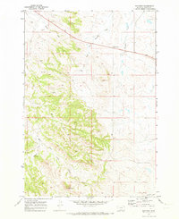
1970 · Hammond
USGS Topo · 1:24,000
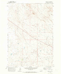
1970 · Greasy Hill
USGS Topo · 1:24,000
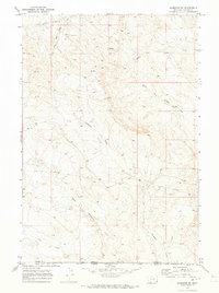
1970 · Hammond SE
USGS Topo · 1:24,000