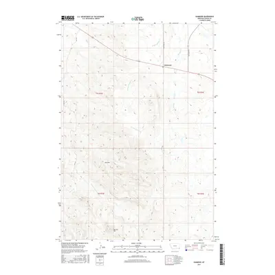
2017 Map of Hammond
USGS Topo · Published 2017About this map
Hammond serves as a small social and postal hub for the southeastern corner of Montana, situated along a rural road network that includes Espy's Rd and Box Elder Rd. The landscape is defined by the high ground of Belcher Mtn and the intricate drainage systems of the E Fork Little Powder River and Boxelder Cr. This 2017 survey illustrates the persistent ranching and range-land character of Carter County, where the Po at Hammond remains a vital landmark for the surrounding community. The topography is marked by named geographic features such as Ash Draw and Blowout Cr, providing a detailed look at the watershed patterns and local road names that define property access and movement across this high plains terrain.
Find a feature on this map
18 named features on this map. Tap any name to fly to it.
Don’t see what you’re looking for? This feature index may not catch every label — zoom into the map to look around manually.
Map Details
Editions of this 2017 Hammond Map
This is the sole edition of this map. No revisions or reprints were ever made.
Other maps of this area

1954 · Ekalaka
USGS Topo · 1:250,000

1956 · Ekalaka
USGS Topo · 1:250,000

1958 · Ekalaka
USGS Topo · 1:250,000

1965 · Ekalaka
USGS Topo · 1:250,000
1970 · Belle Creek North
USGS Topo · 1:24,000
1970 · Belle Creek South
USGS Topo · 1:24,000
1970 · Stack Rocks
USGS Topo · 1:24,000
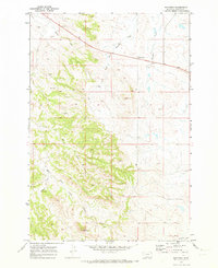
1970 · Hammond
USGS Topo · 1:24,000
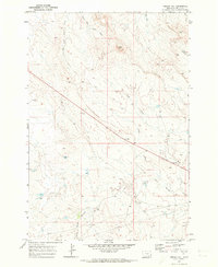
1970 · Greasy Hill
USGS Topo · 1:24,000
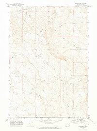
1970 · Hammond SE
USGS Topo · 1:24,000