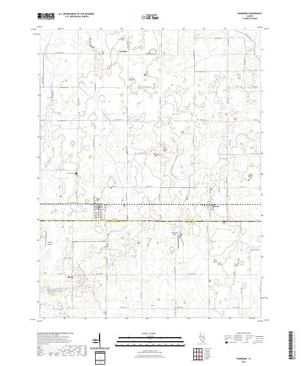
2024 Map of Hammond
USGS Topo · Published 2024About this map
The agricultural landscape of Central Illinois defines this area, centered on the village of Hammond near the junction of Piatt Co and Moultrie Co. This recent survey illustrates a well-organized grid of township and county roads, such as Co Hwy 8 and Co Hwy 19, which link small rural settlements like Pierson, Voorhies, and Lanton. The terrain is characterized by intricate drainage systems vital to local farming, including Ditch Number 4, Hammond Mutual Ditch, and the winding Lake Fork in the northeast corner.
Find a feature on this map
51 named features on this map. Tap any name to fly to it.
Don’t see what you’re looking for? This feature index may not catch every label — zoom into the map to look around manually.
Map Details
Editions of this 2024 Hammond Map
This is the sole edition of this map. No revisions or reprints were ever made.
Other maps of this area

1935 · Arcola
USGS Topo · 1:48,000

1935 · Sullivan
USGS Topo · 1:48,000

1940 · Sullivan
USGS Topo · 1:62,500

1940 · Arcola
USGS Topo · 1:62,500

1950 · Tuscola
USGS Topo · 1:62,500

1955 · Bement
USGS Topo · 1:62,500

1958 · Decatur
USGS Topo · 1:250,000

1961 · Decatur
USGS Topo · 1:250,000
1975 · Tuscola NW
USGS Topo · 1:24,000
1975 · Tuscola SW
USGS Topo · 1:24,000